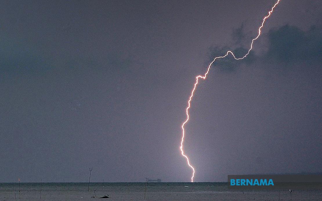
Malaysia's Meteorological Department has alerted the public to expect intense thunderstorms, heavy downpours and forceful winds sweeping across eight states during the afternoon and early evening on Wednesday, with conditions expected to persist until 7pm. The warning underscores the volatility of tropical weather systems that frequently impact the country during monsoon transition periods, particularly affecting the northern and eastern regions of Peninsular Malaysia.
The northern state of Kedah faces the most extensive coverage under the warning, with four districts experiencing the severe weather event. Residents in Sik, Baling, Kulim and Bandar Baharu have been cautioned to prepare for hazardous conditions that could disrupt daily activities and pose safety risks. These districts, situated across the state's agricultural heartland and urban centres, are home to hundreds of thousands of people whose commute and business operations may be affected by the afternoon deluge.
Perak, sharing Kedah's northern borders, is similarly positioned in the warning zone across five different districts. Larut, Matang dan Selama, Hulu Perak, Kuala Kangsar and Kinta represent a significant portion of the state's population and economic activity. The alert carries particular importance for Kuala Kangsar and Kinta, which encompass the royal town and major commercial centres respectively, where disruptions could impact broader regional connectivity and commerce.
The east coast faces an even more extensive weather threat, with the meteorological authorities flagging seven districts across Kelantan. Tumpat, Pasir Mas, Kota Bharu, Tanah Merah, Bachok, Machang and Pasir Puteh collectively represent both the state's cultural heart and major residential zones. The warning carries implications for the state's substantial population concentration in these areas, where flash flooding has historically posed challenges during periods of intense rainfall.
Terengganu's coastal and riverside districts are similarly positioned under alert status, affecting Besut, Setiu, Kuala Nerus and Kuala Terengganu. These areas, which include the state capital and significant port facilities, warrant particular attention given their susceptibility to water accumulation and the infrastructure vulnerabilities that coastal districts commonly experience during severe weather events. The proximity to the South China Sea amplifies meteorological instability in these zones.
Higher-elevation regions are not exempt from the warning. Cameron Highlands in Pahang, situated at considerable altitude in the peninsula's central mountain range, faces forecast conditions that could trigger landslides or flooding in low-lying areas despite its elevated terrain. The district, a major agricultural and tourism destination, may experience service disruptions if access roads become compromised by weather-related hazards.
The alert extends into Selangor, the nation's most populous state and industrial heartland, where Hulu Selangor has been flagged for dangerous weather. Although the warning covers only this specific district rather than the state's densely populated central areas, the region's position as a water catchment zone means flooding consequences could extend downstream into more heavily developed zones. Meanwhile, Johor's Mersing and Kota Tinggi districts on the southeastern peninsula are included in the warning scope, representing important economic zones and transport corridors in the southern region.
The temporal specificity of the warning—lasting only until 7pm—suggests a localised convective system rather than a broader monsoon surge, though such afternoon thunderstorms remain potent meteorological phenomena capable of generating considerable rainfall intensity within short timeframes. The inclusion of strong winds alongside rain and thunder indicates a multi-hazard weather event that could bring structural damage, tree falls and power disruptions alongside flooding concerns.
For residents across these affected areas, the advisory serves as a prompt to secure loose outdoor objects, avoid unnecessary outdoor activities during peak storm hours and exercise caution on roads where visibility and traction may be severely compromised. Commuters planning afternoon travel should consider timing adjustments to avoid peak storm periods, whilst those in flood-prone localities should remain vigilant for any escalation in water levels, particularly in areas downstream from heavy rainfall zones.
The warning also carries implications for infrastructure operators, transport authorities and emergency services, who must coordinate rapid response protocols should weather impacts necessitate road closures, evacuation assistance or utility restoration. The eight-state geographical spread indicates this represents a significant atmospheric disturbance affecting millions of Malaysians across multiple regions simultaneously, underlining the importance of maintaining awareness of meteorological alerts throughout the afternoon period.