Japan's weather authorities issued urgent warnings on Friday as two powerful typhoons converged on the country, threatening widespread flooding and landslides across multiple regions. The Japan Meteorological Agency cautioned that Typhoon Higos was expected to make landfall from the Pacific the following day, while simultaneously tracking Typhoon Mekkhala as it approached the Amami region in Kagoshima Prefecture in the nation's southwest. The dual threat scenario prompted heightened alertness across the country, particularly in areas already battered by torrential rainfall throughout the week.
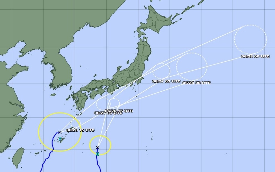
The concurrent approach of both tropical systems created a complex forecast challenge for Japanese meteorologists. As of Friday morning, Typhoon Mekkhala was positioned off Okinawa's Kume Island, advancing northeastward at a speed of 15 kilometres per hour. The agency's tracking data indicated that Mekkhala would likely shift trajectory toward the Kanto region—home to Tokyo and surrounding prefectures—as the weekend progressed. Meteorologists anticipated that while both systems would weaken into extratropical cyclones as they moved inland, the transition period would deliver the most intense rainfall and wind damage.
Cumulative precipitation totals from the preceding days painted a picture of exceptional moisture delivery to southwestern Japan. Goto in Nagasaki Prefecture had already received 600 millimetres of rain between Tuesday and Friday morning alone, while Aso in Kumamoto Prefecture and Ureshino in Saga Prefecture each recorded surpassing 500 millimetres. These rainfall amounts, accumulated over just four days, approached or exceeded typical monthly precipitation totals for June in those regions, saturating soils and swelling river systems to dangerous levels.
The emergency response was proportional to the threat magnitude. Japan's Fire and Disaster Management Agency reported that over 2 million people across 13 prefectures in the Kinki and Kyushu regions had been issued evacuation orders by 7 am local time on Friday. In Seika, Kyoto Prefecture, authorities activated the highest level 5 emergency safety alert for certain neighbourhoods after a landslide had already occurred that morning, signalling that the ground instability feared by meteorologists was already materializing. These precautionary measures underscored the severity with which Japanese disaster management officials viewed the approaching systems.
The rainfall forecasts for the critical Saturday period revealed the intensity expected as the typhoons moved over the Japanese islands. The Tokai region, stretching along the Pacific coast southwest of Tokyo, was forecast to receive up to 300 millimetres by noon Saturday, with the Kanto-Koshin region—encompassing the greater Tokyo metropolitan area and surrounding prefectures—expecting up to 150 millimetres. These projections assumed a pattern where Higos would move northward along the country's southern coastline while Mekkhala approached from the southeast, with rainfall expected to intensify through Saturday as both systems neared their points of maximum impact.
The geographical distribution of hazards was unevenly spread across the archipelago. Okinawa Prefecture and eastern Japan faced particular vulnerability to strong winds and storm surge from the approaching systems. The timing of Mekkhala's transition toward the Kanto region, coinciding with Higos's movement inland, suggested a period of overlapping impacts that could confound disaster response efforts and challenge evacuation logistics across Japan's most densely populated region.
For Malaysian and Southeast Asian observers, the Japanese situation offers both cautionary lessons and comparative context. The dual-typhoon scenario, while not unprecedented in the Western Pacific, represents the kind of extreme weather convergence that climate scientists increasingly document as conditions shift. Japan's robust early warning system, mandatory evacuation protocols, and substantial investment in meteorological infrastructure demonstrate a response model that many developing nations in the region aspire to emulate. However, the sheer scale of evacuations required—affecting over 2 million people—illustrates that even well-prepared nations face significant challenges when multiple severe systems approach simultaneously.
The infrastructure implications for Japan extended beyond immediate public safety. Major transportation networks, including rail and highway systems connecting Tokyo and southwestern regions, would likely experience disruptions. Supply chains dependent on movement through affected areas would face delays. Manufacturing facilities and distribution centres in the Tokai region, one of Japan's industrial heartlands, would need to suspend or curtail operations during the peak rainfall period Saturday.
The meteorological agency's emphasis on landslide risk reflected a legitimate concern rooted in Japan's topography and recent precipitation history. The steep terrain of much of southwestern and central Japan, combined with the extraordinary rainfall already received, created a landscape primed for slope failures. Seika's morning landslide served as an early confirmation of this danger. Additional slides seemed probable as Higos and Mekkhala delivered their heaviest rainfall Saturday.
While Japanese authorities expected both typhoons to lose their tropical characteristics as they moved over land and encountered colder, less energy-rich environments, the transition to extratropical cyclones would not necessarily bring relief. Transitioning typhoons often produce some of their heaviest rainfall during the conversion process, as they tap into mid-latitude moisture and uplift mechanisms. Thus the weekend forecast represented not a period of gradually improving conditions, but rather a concentrated window of maximum hazard before systems began their final dissipation.
The incident underscored Japan's ongoing vulnerability to tropical cyclones despite its wealth and technological sophistication. While the nation's warning systems and evacuation capabilities represented world-class standards, nature's power to deliver multiple simultaneous threats remained a challenge that no amount of preparation could entirely neutralize. The evacuations of millions, the highest-level emergency alerts, and the focused attention of national meteorological and disaster management agencies demonstrated the seriousness with which modern Japan regarded typhoon threats, even as its population continued to concentrate in vulnerable coastal and low-lying areas.