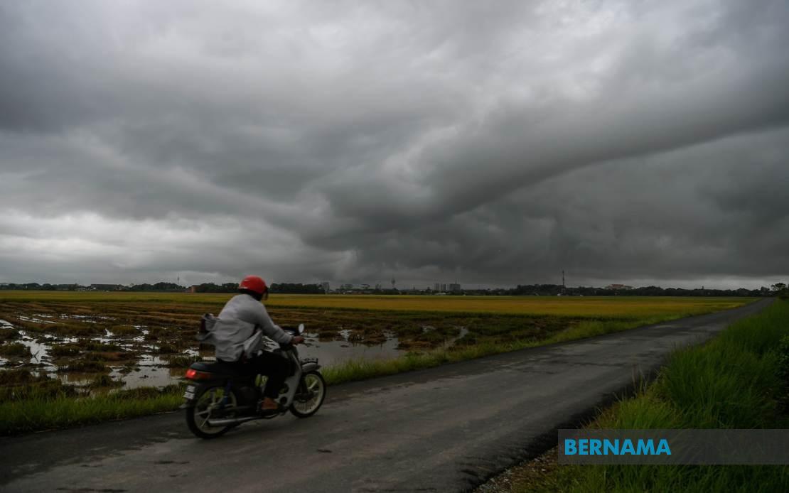
Residents across multiple regions of Malaysia have been advised to prepare for severe weather as the Malaysian Meteorological Department issued a widespread thunderstorm alert on July 15, with conditions expected to intensify through the evening hours until 9 pm. The warning encompasses significant portions of the peninsula alongside East Malaysian states, covering a geographical span that reflects the seasonal instability affecting the nation's weather patterns.
In the northern regions, Kedah faces potential disruptions across four key districts: Kuala Muda, Baling, Kulim and Bandar Baharu are all placed on alert for dangerous electrical storms accompanied by torrential downpours. The adjacent state of Penang, where urbanisation concentrates populations in vulnerable coastal and lowland areas, has been warned that Northeast district alongside the three Seberang Perai divisions—Utara, Tengah and Selatan—will experience similar atmospheric conditions. This puts significant portions of the country's economically vital northern corridor under weather threat.
Perak's extensive warning coverage demonstrates the scale of the weather system, with nine distinct administrative areas flagged for severe conditions. The affected zones range from coastal Kerian to inland mountainous terrain including the administrative divisions of Larut, Matang and Selama, Hulu Perak, Kuala Kangsar, Kinta, Kampar and Batang Padang. Notably, Kelantan faces blanket coverage, meaning all administrative divisions within the state are expected to experience the thunderstorm and heavy rainfall phenomenon, suggesting a particularly intense weather system affecting the east coast region.
The east coast warning extends into Terengganu, where six districts have been placed on alert: Besut, Hulu Terengganu, Kuala Terengganu, Marang, Dungun and Kemaman. This continuous band of warnings across multiple east coast states suggests a cohesive weather front moving through the region. Pahang, the peninsula's largest state, has six districts flagged including the popular tourist destination Cameron Highlands—a highland area particularly vulnerable to rapid water accumulation and flash flooding—alongside Lipis, Jerantut, Kuantan, Pekan and Rompin.
In the southern peninsula, Johor's industrial and residential heartland faces potential disruption across eight districts. Tangkak, Segamat, Muar, Kluang, Mersing, Kulai, Kota Tinggi and Johor Bahru include both major urban centres and coastal regions where thunderstorms can cause immediate infrastructure challenges. The breadth of warnings across Johor underscores how the weather system spans considerable latitudinal distance, affecting both the interior and coastal zones simultaneously.
Beyond the peninsula, Sarawak experiences warnings in five key areas spanning the state's geography. Sibu and the Mukah district (comprising Matu, Dalat and Mukah) on the coast face storm conditions, whilst inland areas including Kapit (specifically Song), Bintulu (Tatau) and Miri (Beluru, Miri and Marudi) are similarly affected. This distribution suggests the weather system's influence extends across Sarawak's diverse topography from coastal zones to interior regions.
Sabah's warning coverage reflects the state's administrative structure, with Interior Division districts of Sipitang, Kuala Penyu, Beaufort and Tambunan placed on alert alongside West Coast Division areas of Papar, Penampang and Ranau. The Federal Territory of Labuan, despite its smaller size and island location, also faces storm conditions. This comprehensive coverage of East Malaysia indicates the weather phenomenon is not merely a peninsula-bound event but represents a significant regional atmospheric system.
Thunderstorm warnings of this scale carry substantial implications for Malaysian operations. Heavy rain accompanying electrical storms creates immediate flash flood risks in low-lying areas, particularly in urban zones with drainage constraints. Strong winds pose hazards to structures, vegetation and transportation networks. For residents in affected areas, the seven-hour warning window until 9 pm provides opportunity to secure loose outdoor items, avoid unnecessary travel and defer outdoor activities. Motorists should exercise heightened caution as reduced visibility from heavy rain combines with wind gusts to create treacherous driving conditions.
For essential services and businesses, such widespread warnings demand contingency planning. Power utilities may face increased fault rates from lightning strikes across the extended warning zone. Transportation networks, both road and rail, require operational adjustments. Public transport authorities should anticipate service disruptions or delays. Agricultural areas face potential crop damage from violent wind and hail, whilst the construction sector must secure sites and pause elevated operations.
The geographical extent of this warning—spanning from Kedah to Johor, encompassing both Sarawak and Sabah—underscores how monsoon and inter-monsoon transition periods can produce coordinated severe weather systems affecting the entire nation simultaneously. Such widespread alerts remain relatively uncommon, making this a significant weather event worthy of serious public attention and preparedness measures throughout the warning period.