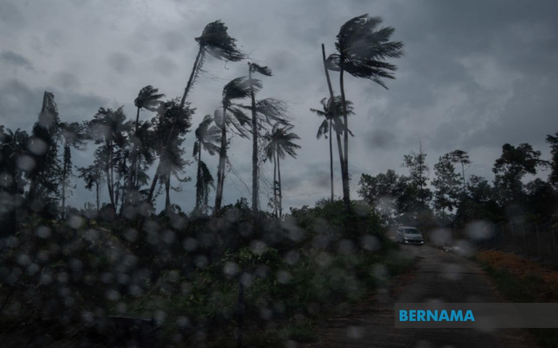
The Malaysian Meteorological Department issued an urgent weather advisory on August 19 at 2.40 pm alerting residents across nine states to prepare for severe thunderstorm activity expected to persist until 5 pm that afternoon. The warning encompassed a geographically dispersed region stretching from the northern peninsula through to East Malaysia, signalling coordinated atmospheric conditions affecting both Peninsular Malaysia and the states of Sarawak and Sabah simultaneously.
In the northern peninsula, Kedah residents face threats from thunderstorms concentrated in six districts: Baling, Sik, Kulim, Kuala Muda, Pendang, and Yan. The neighbouring state of Penang, a heavily urbanised region housing millions of residents and serving as a major economic hub, braces for severe weather in Seberang Perai Utara and Seberang Perai Tengah. These districts represent significant population centres where disruptions to transport, business, and daily life could affect considerable numbers of people simultaneously.
The warning extended southward through Perak, where seven districts face the threat of heavy downpours and strong winds capable of causing property damage and flooding. The affected areas encompass Mualim, Kinta, Kampar, Batang Padang, Perak Tengah, Hilir Perak, and Kuala Kangsar, covering both inland and coastal regions of the state. Terengganu on the east coast similarly braced for impact across Dungun, Marang, Kuala Terengganu, and Kuala Nerus, regions that combine coastal vulnerability with population density.
Pahang, Malaysia's largest state by area, faced warnings across eight separate districts stretching from the highland Cameron Highlands region through to central and peripheral zones. Lipis, Raub, Bentong, Bera, Rompin, Temerloh, and Maran joined Cameron Highlands in the alert zone, creating a substantial coverage area across one of the peninsula's most geographically diverse states. Negeri Sembilan's five districts of Seremban, Jempol, Tampin, Kuala Pilah, and Jelebu prepared for the incoming system, while Johor faced more limited impact with only Segamat falling within the warning zone.
East Malaysian coverage proved equally extensive, with Sarawak experiencing warnings across multiple divisions. Miri's Marudi district, the separate state of Limbang, Mukah, Sibu encompassing both the main urban centre and Selangau district, Sarikei including Maradong and the main town, and Bintulu covering both the division centre and Tatau all prepared for severe weather. The geographic spread across Sarawak indicates atmospheric conditions affecting not merely localised systems but broader weather patterns impacting the entire state.
Sabah's alert zone covered several distinct regions representing varied topography and settlement patterns. The Interior Division districts of Keningau, Tambunan, Membakut, Tenom, Sipitang, and Beaufort faced warnings alongside the West Coast region and Kudat district's Kota Marudu, collectively representing inland agricultural and pastoral areas, coastal communities, and inter-island transit zones vulnerable to severe wind and water damage.
Thunderstorm warnings carry significant implications for Malaysian communities accustomed to tropical weather systems but nonetheless vulnerable to extreme precipitation and associated flooding. Heavy rain concentrated over a few hours can overwhelm urban drainage infrastructure, particularly in city areas where impervious surfaces prevent natural water absorption. Strong winds accompanying thunderstorms present hazards to poorly secured structures, power lines, and outdoor activities, whilst reduced visibility endangers road transport across all affected regions.
The broad geographic distribution across nine states suggests a significant weather system rather than isolated convective activity, potentially indicating a trough or broader moisture convergence affecting the entire nation simultaneously. For residents and businesses across these regions, the five-hour window until 5 pm represented a concentrated risk period demanding precautionary measures including securing loose outdoor items, avoiding unnecessary travel, and remaining alert to flooding risks in low-lying areas.
MetMalaysia's advisory system relies on timely warnings enabling communities to prepare appropriately, particularly in regions with known vulnerability to flash flooding or wind damage. The specific timing of the 2.40 pm advisory provided approximately two hours' notice for preparatory action, whilst the 5 pm completion time suggested the system's anticipated rapid passage through affected areas. For Malaysian readers monitoring weather conditions, such advisories remain critical planning tools for daily activities, transport arrangements, and workplace decisions across the affected nine states.