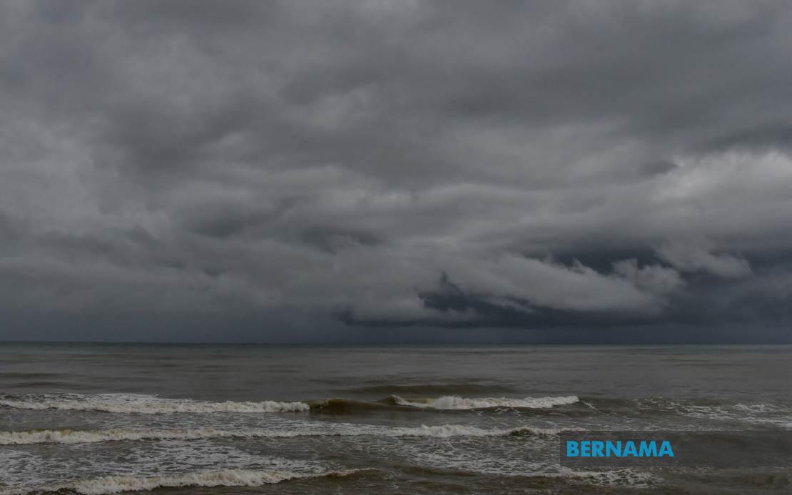
The Malaysian Meteorological Department (MetMalaysia) has activated a weather alert covering a broad geographical expanse, warning residents and commuters across multiple states to prepare for deteriorating conditions this evening. The advisory, issued on July 16, forecasts the arrival of thunderstorms accompanied by heavy precipitation and gusty winds, with the dangerous weather expected to persist until 9pm on the same day. The timing of this alert underscores the volatility of Malaysia's monsoon season patterns, which routinely trigger flash flooding and travel disruptions across the nation.
In Peninsular Malaysia, the northern corridor faces particular vulnerability, with Perlis and Kedah bracing for impact across a chain of districts. Within Kedah, the alert encompasses Langkawi, a major tourist destination, alongside interior zones including Kubang Pasu, Padang Terap, Sik, Baling, Kulim, and Bandar Baharu. This distribution suggests a broad storm system rather than a localised phenomenon, capable of affecting both coastal and inland communities. The northern region's exposure to such weather events carries significant implications for agriculture, supply chains, and the tourism sector, given Kedah's importance to Malaysia's rubber and rice production as well as Langkawi's status as a premier holiday destination.
Perak similarly faces comprehensive coverage under the warning, with six administrative divisions identified as vulnerable. Kerian, Larut, Matang and Selama, Hilir Perak, Batang Padang, and Muallim represent a swath of territory spanning from the state's western coastal plains to its interior highlands. The concentration of warnings in this region reflects the topographical diversity that often intensifies rainfall when weather systems interact with mountainous terrain, potentially creating conditions for flash floods in low-lying areas and landslide risks in elevated zones.
The alert extends into Malaysia's commercial heartland, with Kuala Lumpur and the Klang Valley region falling within the affected zone. Selangor, the nation's most densely populated state, faces disruptions across six districts: Sabak Bernam, Kuala Selangor, Hulu Selangor, Klang, Gombak, and Petaling. The scale of this coverage is significant given the concentration of industrial facilities, residential areas, and critical infrastructure in the region. Urban flooding in densely built zones like Klang and Petaling historically creates severe traffic congestion and economic disruptions, affecting millions of residents and workers. Johor's southern zone, covering Kulai and Johor Bahru, rounds out the peninsula's warnings, extending the alert to the nation's southernmost major population centres.
East Malaysia faces separate but equally serious threats, with Sabah's exposure spanning the state's developed zones and interior regions. The Interior division joins the more populated West Coast districts of Papar, Putatan, Penampang, Kota Kinabalu, Tuaran, and Ranau. These areas encompass Sabah's primary economic zones, with Kota Kinabalu serving as the state capital and commercial hub. The alert also covers Sandakan's eastern districts, including Tongod, Telupid, and Beluran, suggesting the storm system's reach extends across most of Sabah's inhabited territory.
In Sarawak, the warnings concentrate on three divisions with distinct geographical characteristics. Kapit's coverage includes the division itself plus Bukit Mabong and Belaga, reflecting the vulnerability of these interior communities to intense rainfall events. Miri and Limbang, located in the northern frontier region, face similar threats. Labuan, the federal territory, completes the alert zone. This geographical spread indicates a significant weather disturbance capable of affecting populations across both Malaysian Borneo and the peninsula simultaneously.
The issuance of such comprehensive warnings by MetMalaysia typically precedes measurable impacts on daily life and economic activity. Thunderstorms of sufficient intensity to warrant official alerts often produce rainfall exceeding 50mm within short timeframes, potentially triggering flash flood protocols in vulnerable catchment areas. Strong winds accompanying such systems can damage structures, uproot vegetation, and disrupt power supplies. For residents in affected zones, the advisory signals the need to secure outdoor items, avoid unnecessary travel, and remain alert for local emergency announcements.
The timing of these storms reflects the broader monsoon dynamics affecting Malaysia during this period. The Southwest Monsoon season, which typically governs July weather patterns, frequently produces unstable atmospheric conditions conducive to sudden, intense convective activity. Such phenomena are notoriously difficult to predict with precision beyond a few hours, making real-time alerts from MetMalaysia essential for public safety. The department's decision to issue warnings across such a wide area suggests meteorologists have identified atmospheric indicators—pressure patterns, wind shear, moisture availability—consistent with organised storm development rather than scattered, isolated thunderstorms.
For businesses and public services operating in the affected regions, the afternoon and evening period requires contingency planning. Transportation authorities may need to monitor flood-prone routes and prepare alternate pathways. Emergency services across all jurisdictions should maintain heightened readiness, given the unpredictable nature of severe thunderstorm impacts. Schools and workplaces near dismissal times may face disruptions if conditions deteriorate rapidly. The economic implications of such weather events, while temporary in most cases, accumulate across supply chains and service delivery when affecting multiple states simultaneously.
The forecast window extending to 9pm provides a narrow but actionable timeframe for residents to complete preparations. By late evening, the storm system is expected to move beyond the affected areas or lose intensity. However, the cessation of formal alerts does not necessarily indicate an immediate return to normal conditions, as ground saturation and potential flooding may persist into the following day. MetMalaysia typically issues follow-up advisories if dangerous conditions are expected to continue beyond initial forecast windows, and residents should monitor official channels for updates.