The Malaysian Meteorological Department has alerted residents across multiple regions to prepare for severe weather conditions, issuing a thunderstorm warning that encompasses six states and the federal territory of Labuan. The alert, which remains in effect until 1 am the following day, warns of thunderstorms accompanied by heavy rainfall and dangerous wind gusts that could impact communities and disrupt normal activities.
In Peninsular Malaysia, the warning extends across the northern and eastern regions, touching both the west and east coasts. Kedah's affected zones include Padang Terap, Sik and Baling, while Hulu Perak in Perak faces similar conditions. The east coast is particularly in focus, with Kelantan experiencing thunderstorm risks in Tumpat, Pasir Mas, Jeli, Tanah Merah and Kuala Krai, while Pahang's Jerantut district remains under alert. These regions, particularly on the east coast, are prone to such weather patterns during certain seasons, and the department's proactive warnings allow residents and authorities to implement necessary precautions.
East Malaysian territories have been assigned particular significance in this weather advisory. In Sarawak, an extensive list of divisions faces potential severe weather, spanning from the coastal regions around Kuching, Serian and Samarahan to the interior divisions. Sri Aman, Betong with its sub-districts of Pusa and Betong, Sarikei's Julau area, and Sibu covering Kanowit and Selangau all fall under the warning parameters. Further inland, Kapit and Bukit Mabong face similar risks, while the northern divisions including Bintulu, Miri and Limbang are also affected. Within Miri's jurisdiction, the specific areas of Subis, Beluru, Miri and Marudi require heightened alert, demonstrating the widespread nature of this weather system.
Sabah's exposure to these severe conditions encompasses several strategically important districts. The Interior division, represented by Kuala Penyu, the West Coast region covering Putatan and Ranau, and the Sandakan division's Telupid and Beluran districts all remain under observation. Labuan, the federal territory situated off the coast of Sabah, has been incorporated into this warning, reflecting the broad geographical scope of the weather disturbance affecting Borneo's northern regions.
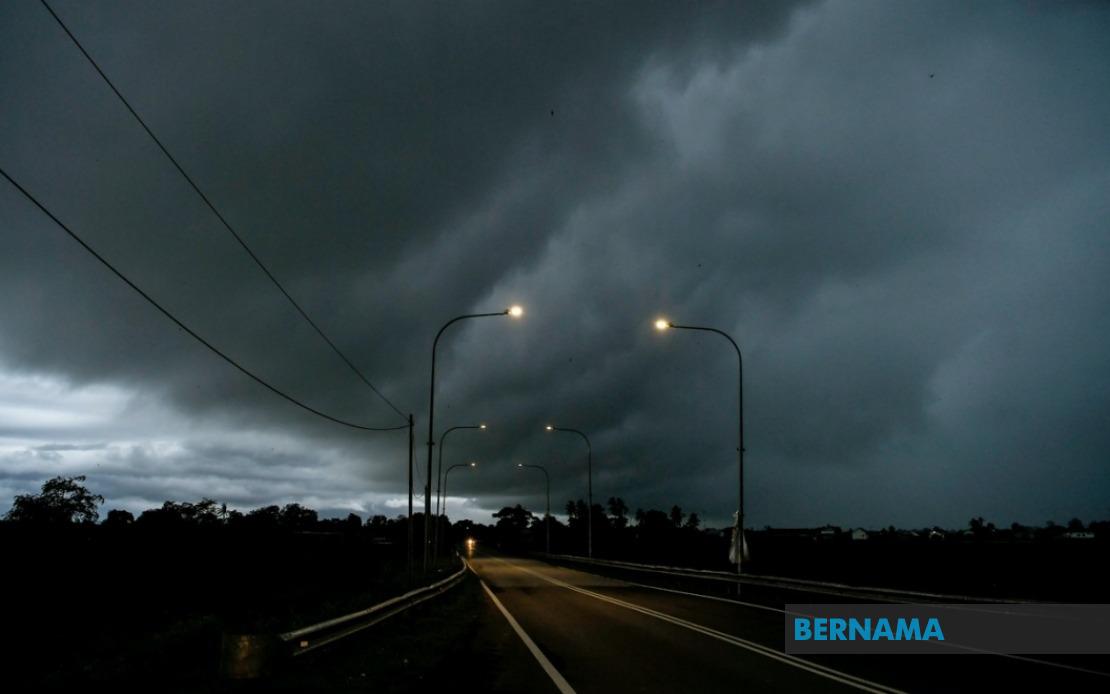
Thunderstorm warnings of this nature typically indicate the presence of convective weather systems capable of generating significant precipitation within short timeframes. The combination of thunderstorms, heavy rain and strong winds presents a tripartite hazard to the affected regions. Heavy rainfall can trigger flooding in low-lying areas and along river systems, while strong winds accompanying these storms can cause structural damage to buildings, uproot trees and disrupt power supply lines. The simultaneous occurrence of these three weather elements amplifies the overall risk profile for communities in the warning zones.
For Malaysian residents and authorities in the affected areas, such warnings serve as critical information for risk management. Residents are typically advised to remain indoors during the peak of thunderstorm activity, secure loose outdoor items, avoid flooded roads and stay updated through official weather channels. Businesses and industries in these regions may need to adjust operations temporarily, while construction activities and outdoor events should be postponed. Emergency services in these areas typically increase readiness during such periods to respond to weather-related incidents including fallen trees, flooding and structural damage.
The Malaysian Meteorological Department's timeliness in issuing such warnings reflects the sophisticated monitoring infrastructure and forecasting capabilities developed across Malaysia. Modern radar systems, satellite imagery and atmospheric modeling enable meteorologists to identify developing weather systems and issue appropriate alerts with reasonable lead time. For residents unfamiliar with such warnings, understanding their implications remains important—these are not casual notifications but serious advisories indicating genuine hazardous conditions likely to develop within the specified timeframe.
Geographically, the distribution of warnings across both Peninsular and East Malaysia suggests a substantial weather system affecting much of the country. The inclusion of both coastal and interior regions indicates that the triggering mechanism is likely a broad-scale atmospheric phenomenon rather than localized convection. During certain seasons, monsoons or inter-monsoon periods can generate such widespread severe weather patterns that impact multiple states simultaneously, as appears to be the case here.
For businesses relying on weather-dependent operations—agriculture, transportation, construction and commerce—such warnings necessitate contingency planning. Supply chains may be disrupted, agricultural activities postponed and transportation routes reassessed for safety. The economic implications of severe weather events, when aggregated across multiple states, can be substantial, making accurate forecasting and timely warnings essential components of disaster risk reduction and economic continuity planning.
The specificity of the warning, identifying individual districts and sub-districts rather than issuing blanket state-level alerts, demonstrates a refined approach to public communication. This granularity allows residents to assess personal risk more accurately and enables local authorities to concentrate resources and preparation efforts on the most vulnerable areas. As climate patterns continue to evolve, such detailed, science-based weather forecasting and communication become increasingly valuable for communities across Malaysia and the broader Southeast Asian region.