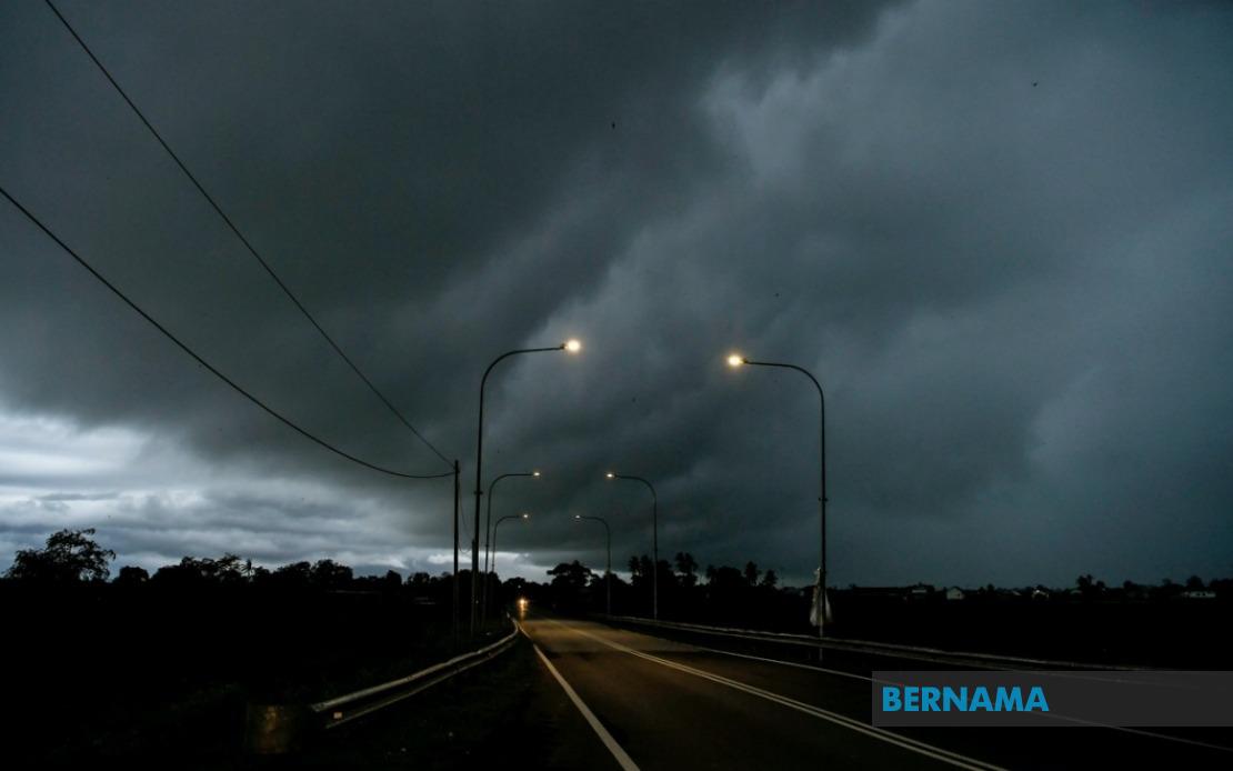
The Malaysian Meteorological Department has activated severe weather warnings across the country as a cluster of thunderstorms moves through, bringing the risk of heavy downpours and strong winds to numerous populated and rural areas until 5 pm today. Residents throughout Peninsular Malaysia, East Malaysia, and the federal territories are advised to exercise caution and prepare for potential disruptions as atmospheric conditions remain unstable across the region.
On the Peninsula's west coast, Perlis faces the full brunt of the expected system, whilst Kedah—encompassing the popular tourist destination of Langkawi alongside urban centres Kubang Pasu, Kota Setar and surrounding districts—remains under alert status. Perak's coastal and central zones including Manjung, Perak Tengah and Hilir Perak are similarly vulnerable, as are portions of Pahang's highland regions such as Cameron Highlands alongside the districts of Raub, Bentong and Rompin, where orographic effects may intensify rainfall as moisture-laden winds encounter elevated terrain.
The federal territories of Kuala Lumpur and Putrajaya, along with the densely populated Selangor region spanning from coastal Kuala Selangor and Kuala Langat through the industrial heartland of Klang and Petaling to semi-rural Hulu Langat and Hulu Selangor, face substantial risk. This geographic spread encompasses the nation's economic and administrative core, where sudden downpours frequently create traffic congestion on major arterial routes and can disrupt business operations. Melaka and Negeri Sembilan, encompassing state capitals Seremban and the port city Port Dickson, are equally affected, whilst Johor's interior districts of Tangkak, Segamat and the coastal area of Muar round out the Peninsula's coverage.
The warning extends significantly to Sarawak's populated western region, where Kuching and Samarahan—the state's capital and metropolitan suburbs—face thunderstorm activity. The central districts of Mukah division, specifically Matu, Dalat and Mukah itself, alongside Kapit's Song settlement and the northern oil-producing region of Miri including its offshore resource areas and rural localities Subis and Telang Usan, are similarly threatened by the approaching system. These disparate locations suggest a broad atmospheric disturbance capable of producing severe weather across considerable distances.
Sabah's interior region near Kuala Penyu and the southeastern tip encompassing Tawau and Semporna complete the national weather alert map. The inclusion of these geographically diverse locations—from heavily developed urban zones to remote interior settlements dependent on air transport—underscores the extensive nature of the meteorological threat. For residents and businesses in these areas, the practical implications include potential flooding in low-lying zones, temporary loss of power from lightning strikes, hazardous road conditions affecting commuters and commercial transport, and possible flight delays at regional airports.
Thunderstorm warnings carry particular significance in Malaysia's tropical maritime climate, where the combination of high humidity, afternoon heating and converging wind patterns routinely generates severe convective systems. The specificity with which MetMalaysia has delineated affected areas—naming individual districts and towns—reflects the granular forecasting now possible through improved radar technology and satellite monitoring, allowing authorities to issue more targeted public advisories than in previous decades.
The timing through 5 pm suggests the system will peak during late afternoon and early evening hours, coinciding with peak commuting periods when increased vehicular traffic on roads amplifies accident risk during reduced visibility and slippery surfaces. Schools and businesses in affected zones should consider implementing contingency measures such as early dismissals or telework arrangements to minimise exposure. Parents and guardians are similarly advised to monitor weather updates closely and avoid allowing children to engage in outdoor water activities, swimming or water sports until conditions stabilise.
Malaysia's East Malaysian states, whilst economically important for resource extraction and increasingly for tourism, remain more vulnerable to severe weather disruption due to their geographical isolation and reliance on maritime and air transport links. The inclusion of Sabah and Sarawak in today's alert ensures that peninsula-based national warning systems extend protective coverage to Malaysian citizens across the entire federation, though logistical challenges in delivering emergency assistance to remote locations mean that local preparedness becomes especially critical.
For the tourism sector, which remains economically significant despite pandemic-related slowdowns, such weather disruptions create short-term booking cancellations and operational challenges, particularly affecting attractions in Langkawi, Cameron Highlands, Miri and other natural heritage sites where outdoor activities form the primary draw. However, seasonal thunderstorms are sufficiently commonplace that experienced operators maintain established protocols for weather-related shutdowns.
The Malaysian Meteorological Department's issuance of this warning reflects its statutory responsibility to provide timely meteorological intelligence to the public and government agencies. The breadth and specificity of today's advisory—covering roughly two-thirds of the nation's populated territory—suggests atmospheric conditions merit serious public attention, though such systems typically produce short-duration severe impacts lasting hours rather than days, with conditions expected to stabilise once the convective complex propagates offshore or weakens as diurnal heating diminishes toward sunset.