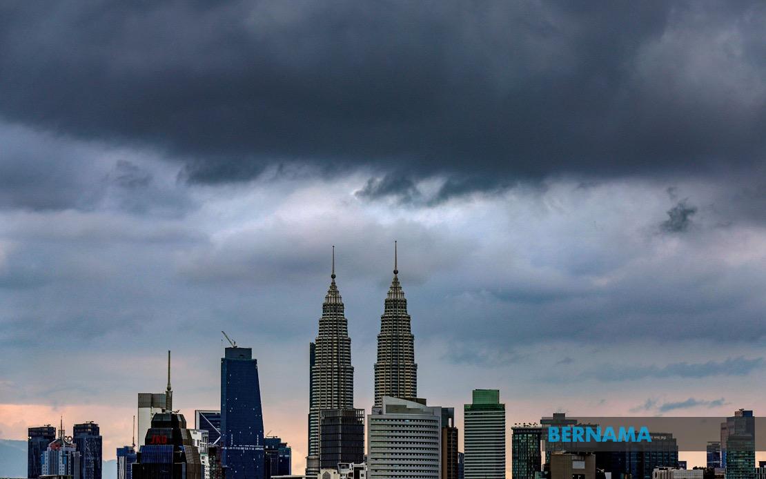
The Malaysian Meteorological Department has activated a weather alert spanning the federal capital region and a substantial portion of Malaysia's western corridor, cautioning residents and commuters to exercise caution as severe conditions develop. The warning encompasses Kuala Lumpur and Putrajaya alongside eight additional states, with the alert remaining in effect until 3 pm as atmospheric instability persists across the peninsula. Such warnings typically prompt heightened vigilance among transport operators, construction sites, and public services, as the combination of thunderstorms, intense rainfall and gusty winds creates hazardous conditions across affected areas.
In the northern region, Kedah residents in several districts face the brunt of the approaching system. The vulnerable zones include Yan, Pendang, Kuala Muda, Sik, Baling, Kulim and Bandar Baharu—a geographically dispersed band of communities spanning agricultural, industrial and residential landscapes. Similarly, Perak's Kerian district and the coastal municipalities of Larut, Matang and Selama are positioned directly in the path of the developing weather disturbance, exposing both developed and rural populations to potential flash flooding and localized disruptions.
The entire state of Penang enters the warning zone, a significant development given the island's dense urban concentration and critical transport infrastructure. The alert carries particular weight for the northern region's economic hub, where disruptions to commerce, shipping operations and daily movement can cascade across Malaysia's international trade corridors. The combination of thunderstorms and heavy precipitation frequently overwhelms drainage systems in built-up areas, creating temporary transportation bottlenecks that affect both residents and businesses dependent on punctual operations.
Selangor, Malaysia's most populous state, faces an especially complex scenario given its sprawling metropolitan geography and critical infrastructure. The alert specifically names Kuala Selangor, Klang, Gombak, Petaling, Kuala Langat, Hulu Langat and Sepang as prime vulnerability zones. These districts collectively contain crucial transport arteries, industrial installations and residential centers housing millions. The Klang Valley's notorious susceptibility to localized flooding during heavy precipitation makes this warning particularly consequential for Malaysia's economic heartland, where traffic disruptions during peak hours can reverberate throughout the nation's supply chains.
Central and southern peninsular regions experience comparable threats. Pahang's Rompin district joins the alert alongside Negeri Sembilan's Seremban, Port Dickson, Rembau and Tampin, extending the warning into key demographic and economic centers. Port Dickson's coastal positioning and historic flooding vulnerabilities make such alerts especially relevant for that municipality's residents and businesses. Melaka's inclusion signals that the southern portion of the warning zone encompasses multiple state capitals and manufacturing clusters sensitive to operational disruptions.
Johor faces widespread exposure through five designated districts. The inclusion of Tangkak, Segamat, Muar, Batu Pahat and Kluang means that Malaysia's southern peninsula, encompassing both urban centers and agricultural regions, faces significant weather stress. These areas represent important nodes in Malaysia's domestic food production and inter-state commerce networks, where weather-related disruptions carry economic implications extending beyond immediate local impacts.
The timeframe—a mid-afternoon endpoint—suggests that the meteorological department anticipates system movement or weakening during afternoon hours, a pattern consistent with typical equatorial convective cycles. However, the span of territory affected underscores the scale and intensity of the atmospheric disturbance generating these conditions. Such widespread alerts affecting both urban conglomerations and dispersed rural communities indicate that the triggering weather system possesses considerable geographic extent and organizational strength.
For residents and commuters across the affected regions, the alert necessitates practical adjustments to daily routines. Transportation authorities typically intensify monitoring of flood-prone routes; construction sites halt operations to protect workers and equipment; and emergency services prepare for potential weather-related incidents. Schools and public facilities in affected zones may implement contingency protocols, while commercial operations sensitive to power disruptions or facility access prepare contingency measures.
The cumulative population affected by this alert spans tens of millions, representing roughly one-third of Malaysia's total inhabitants. The concentration of industrial capacity, financial services, manufacturing hubs and transport infrastructure within the warning zone means that even temporary weather-related disruptions carry amplified economic and operational significance. Companies with operations in multiple affected districts face compounded challenges in maintaining service continuity and managing logistics during the alert period.
MetMalaysia's issuance of formal warnings reflects institutional commitment to public safety messaging, enabling residents, businesses and government agencies to implement appropriate protective measures. The specificity of district-level designations assists local authorities in concentrating resources and public communications toward populations facing the greatest vulnerability. As climate patterns continue evolving across Southeast Asia, such weather alerts represent essential components of national disaster preparedness and risk management frameworks that protect Malaysia's expanding urban and industrial infrastructure.