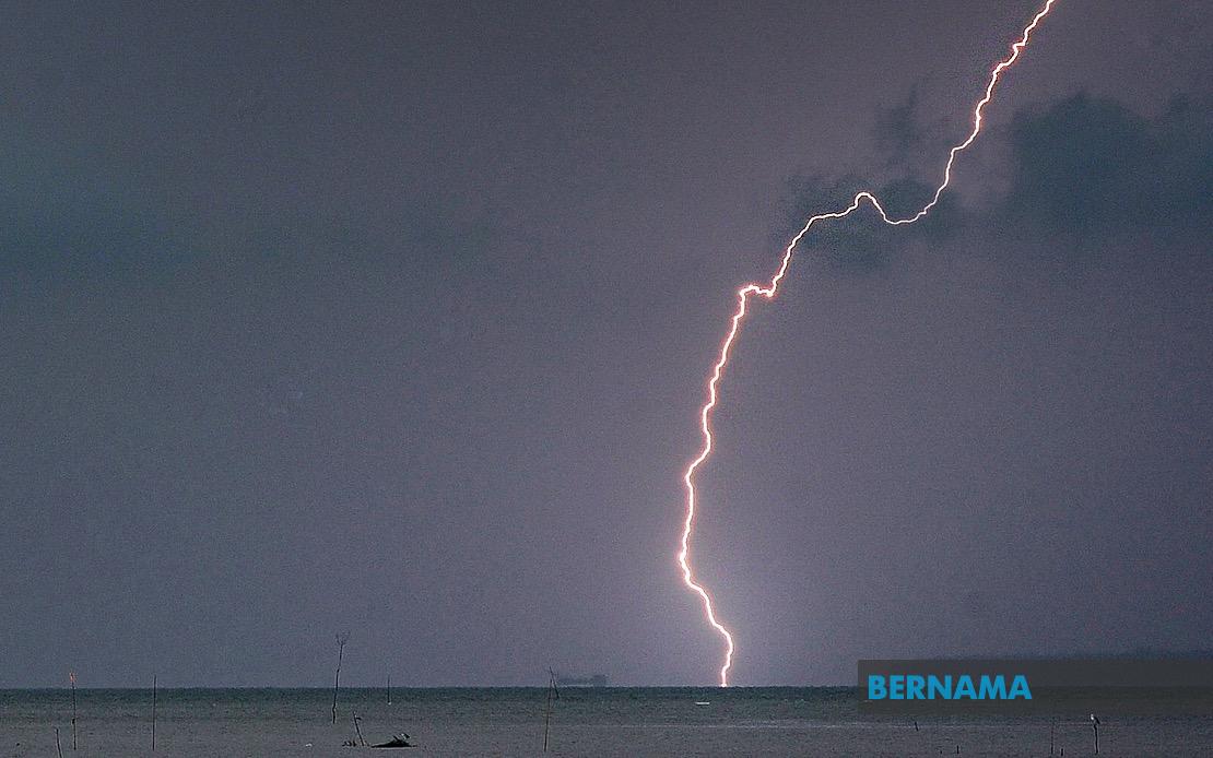
Malaysia's weather authorities have sounded an alert for communities across a significant swathe of the peninsula and Sabah to prepare for potentially disruptive atmospheric conditions. The Malaysian Meteorological Department issued the warning on July 22, cautioning residents and commuters that thunderstorms accompanied by heavy rainfall and gusty winds would sweep through numerous districts throughout the day until 5pm.
The northern state of Kedah faces threats to the Baling district, where residents should anticipate deteriorating conditions and take necessary precautions. The warning extends across a broad swath of Perak, encompassing the administratively important districts of Manjung and Kinta, alongside Perak Tengah, Kampar, Bagan Datuk, Hilir Perak, Batang Padang and Muallim. This concentration in Perak reflects the region's vulnerability to afternoon convective systems that develop over the peninsula's western plains and mountainous interior.
Along the east coast, Terengganu residents in Setiu, Kuala Nerus, Hulu Terengganu, Kuala Terengganu, Marang, Dungan and Kemaman should remain vigilant as moisture-laden air masses move inland from the South China Sea. The neighbouring state of Pahang, particularly the highland districts of Tanah Tinggi Cameron and Lipis, alongside the lowland areas of Jerantut and Kuantan, also faces exposure to the same system. These eastern regions experience frequent summer rainfall events driven by the interplay between daytime heating and maritime air masses.
In the greater Klang Valley region, Selangor's exposure encompasses both the vulnerable coastal strip and the developed metropolitan hinterland. The warned districts include Sabak Bernam and Kuala Selangor along the western seaboard, whilst inland areas of Hulu Selangor and the densely populated Gombak district face similar risks. Urban planners and local authorities in these areas must remain alert to the potential for flash flooding in low-lying sections and disruptions to transportation networks serving the nation's economic heartland.
Southern Johor will also experience the adverse conditions, with warnings extending across Kluang, Mersing, Pontian, Kulai, Kota Tinggi and Johor Bahru. This geographic spread means that thousands of commuters traversing the North-South Expressway and other major transportation corridors should anticipate possible delays and exercise heightened caution, particularly during the late afternoon hours when the warnings remain in effect. The inclusion of Johor Bahru suggests that even the state capital may experience disruptive weather.
On the Malaysian side of Borneo, Sabah faces threats to multiple regions. The Interior division areas of Kuala Penyu, Beaufort and Tambunan, together with the West Coast and Sandakan's Beluran district, as well as the northern Kudat area, all fall within the meteorological department's warning zone. For residents in these regions, the convergence of air masses over the island's complex topography frequently produces intense localised thunderstorms, necessitating particular vigilance among communities and relevant disaster management authorities.
The concentration and geographic spread of this warning underscores the reality that Malaysia's equatorial and tropical location renders it perpetually susceptible to sudden atmospheric instability. July typically falls within a transitional period between monsoon systems, creating conditions where isolated or scattered thunderstorms can develop rapidly and with considerable intensity. The Malaysian Meteorological Department's decision to issue this specific and geographically extensive warning reflects the agency's assessment that conditions are sufficiently likely to warrant public notification.
Residents and commuters across all affected areas should heed standard precautions during such warnings. These include remaining indoors during the height of the storms when possible, avoiding travel through areas prone to flash flooding, and keeping updated through official meteorological channels. Motorists should reduce speed and maintain heightened awareness, whilst those engaged in outdoor activities or construction work should consider postponing operations until the warning period expires. The relatively narrow temporal window until 5pm suggests that the most intense activity may be concentrated in the late afternoon hours.
Businesses and public institutions operating in the affected districts should implement contingency plans for potential disruptions to electrical supply, telecommunications networks and transportation services. Schools and educational institutions may need to arrange alternative dismissal procedures or shelter arrangements for students and staff. The cumulative impact of widespread warnings across multiple states and union territories indicates that this is not an isolated local phenomenon but rather a regionally significant weather system warranting coordinated preparedness responses across numerous state and federal agencies.