The Malaysian Meteorological Department issued an alert on June 15 for widespread adverse weather spanning much of the peninsula and East Malaysia, with thunderstorms and heavy precipitation expected to impact populated areas and rural regions alike until the evening hours.
The warning encompasses the entire state of Perlis, placing the northernmost state under full alert. In the northern corridor, several districts in Kedah face the threat, specifically Langkawi, Kubang Pasu, Kota Setar and Pokok Sena, where residents should prepare for sudden weather deterioration. The east coast faces particularly widespread disruption, with seven districts across Terengganu on alert: Besut, Setiu, Kuala Nerus, Hulu Terengganu, Kuala Terengganu, Marang and Dungun. Pahang's central regions, including Raub, Bentong, Temerloh, Bera and Rompin, are similarly vulnerable to the approaching system.
The Klang Valley and surrounding areas are in the alert zone, with Selangor's Hulu Selangor, Gombak and Hulu Langat districts warned to expect severe weather. Negeri Sembilan's four districts of Jelebu, Kuala Pilah, Jempol and Tampin face parallel conditions, while Johor's southern and eastern reaches, spanning Segamat, Batu Pahat, Kluang, Mersing, Pontian and Kulai, are similarly threatened. This extensive southern coverage underscores the scale of the system affecting the peninsula.
In Sarawak, the meteorological warning extends to both coastal and interior regions. The alert reaches Sri Aman, Betong, Sarikei, and the Sibu division including Selangau, alongside Mukah. The division's northern reaches in Bintulu (including Tatau), and Miri (encompassing Subis and Marudi) are under scrutiny, with Limbang also included in the affected zone. The breadth of Sarawak coverage suggests moisture-laden conditions developing across Borneo.
Sabah experiences a similarly scattered alert pattern, with warnings issued for the Interior region's districts of Keningau and Tambunan, suggesting elevated terrain faces particular risk from orographic enhancement of rainfall. The West Coast division faces the alert blanket, while the southeastern state of Tawau has been subdivided in the warning, with Tawau town, Kunak and Lahad Datu specifically highlighted. Sandakan division, covering the northeastern coastal areas, is also included in the alert.
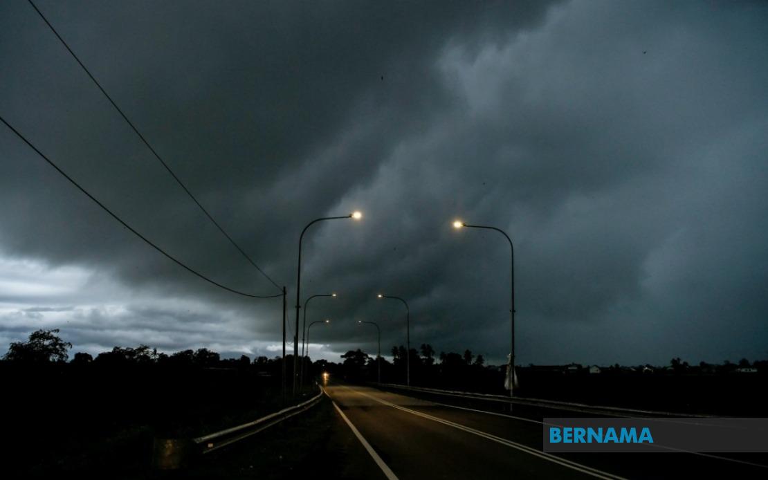
This multi-region warning reflects a weather system of considerable geographic scope, likely driven by seasonal monsoon patterns and local heating that promotes afternoon thunderstorm development across equatorial Malaysia. The concentration of alerts during afternoon hours—persisting until 6pm—indicates convective activity that tends to peak during daytime heating and may persist into early evening depending on atmospheric instability.
For residents across these regions, the warning carries practical implications. Heavy rainfall accumulations within short periods pose flash flooding risks in low-lying areas, urban drainage systems and river systems with steep catchments. The strong winds component suggests potential damage to loose structures, vegetation and outdoor installations. Meteorological authorities typically issue such alerts when atmospheric conditions indicate thunderstorm probability exceeding 60 percent within the designated areas and timeframes.
The geographic distribution—encompassing Peninsular Malaysia's west coast urban belt, east coast rural zones, and substantial portions of East Malaysia—suggests the triggering mechanism is not localized but rather systematic. This could indicate an inter-monsoon transition period where wind patterns shift, or the approach of a squall line, both common catalysts for coordinated severe weather across Malaysia's diverse topography.
Commuters and outdoor workers should monitor conditions closely, particularly those in transportation, construction and logistics sectors whose operations depend on weather stability. Schools and institutions with outdoor activities should consider rescheduling. The constraint to 6pm suggests meteorological confidence that conditions will ameliorate by evening, likely as the heating cycle subsides.
Residents in previously flood-prone areas should exercise heightened vigilance, as accumulated rainfall from successive thunderstorm cells can exceed single-event precipitation thresholds that trigger inundation. The warning's specificity—naming individual districts rather than entire states—reflects MetMalaysia's increasingly granular forecasting capability, allowing affected communities more precise preparation and response planning.