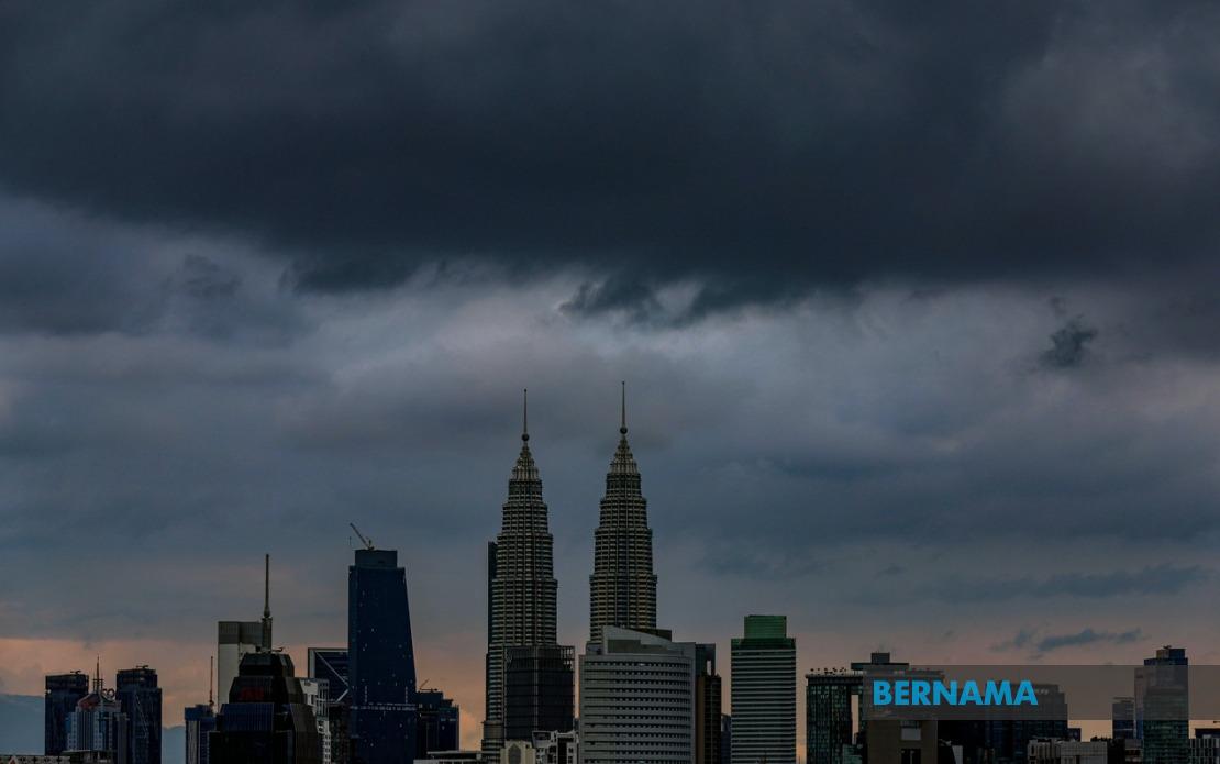
Residents across a broad swathe of Malaysia should prepare for volatile weather conditions this afternoon, as the Malaysian Meteorological Department has issued an alert for thunderstorms, torrential rain and gusty winds sweeping across the capital and multiple states until 4 pm. The warning encompasses Kuala Lumpur and the federal territory of Putrajaya, alongside eight states spanning the peninsula and East Malaysia, indicating a significant weather system moving through the region.
The Klang Valley region finds itself squarely in the firing line, with MetMalaysia flagging several Selangor districts as high-risk zones. Hulu Selangor, Gombak, Petaling, Kuala Langat, Hulu Langat and Sepang all face the prospect of heavy precipitation and wind gusts that could disrupt outdoor activities and potentially cause flash flooding in low-lying areas. For the 7.2 million residents of the greater Kuala Lumpur metropolitan area, the afternoon's weather system presents transport challenges and safety concerns that commuters should factor into their day.
On the east coast of Peninsular Malaysia, the threat is equally pronounced across three states. In Kelantan, the districts of Jeli, Kuala Krai and Gua Musang have been designated as affected areas, whilst Terengganu's coastal and interior zones—including Besut, Hulu Terengganu, Dungun and Kemaman—face similar conditions. Pahang, Malaysia's largest peninsular state, likewise experiences the warning across Cameron Highlands, Raub, Bentong, Pekan and Rompin, a geographic spread that covers both highland and lowland terrain susceptible to different flood mechanisms.
The warning extends further south into the Johor region, where seven districts have been identified as vulnerable to the incoming weather system. Batu Pahat, Kluang, Mersing, Pontian, Kulai, Kota Tinggi and Johor Bahru—representing significant portions of the state's population centres and transport corridors—should brace for heavy downpours and wind hazards. Given Johor's role as a major transit hub connecting Malaysia and Singapore, disruptions could cascade across regional supply chains and commuter movements.
Negeri Sembilan occupies a smaller geographical footprint within the warning zone, yet the impact on Jelebu, Seremban and Port Dickson affects both inland and coastal communities. Seremban, as the state capital, hosts significant administrative and commercial infrastructure that could be disrupted by severe weather. The inclusion of Port Dickson adds a maritime dimension, as strong winds and heavy seas could affect port operations and coastal activities.
In Sabah, the meteorological threat blankets three distinct geographic clusters reflecting the state's diverse topography. The interior districts of Sipitang, Kuala Penyu, Beaufort and Tambunan could experience landslides or localised flooding in addition to heavy precipitation, whilst the west coast zone encompassing Papar, Penampang and Ranau—which includes the substantial urban centre of Kota Kinabalu's outlying areas—faces urban flooding risks. The separate alert for Kota Marudu in the Kudat division indicates that north-eastern Sabah is not spared from the system.
Sarawak's warning covers a dispersed set of divisions reflecting the state's sprawling geography and river systems. Kuching, Serian, Samarahan and Sri Aman form a connected inland corridor, whilst the more distant alerts for Betong, Kapit and Limbang suggest a weather system of considerable breadth and intensity. Flash flooding along Sarawak's river systems poses particular hazards, as the state's extensive waterways can swell rapidly during heavy rainfall and endanger riverside settlements and transportation routes.
The temporal limitation of the warning—extending only until 4 pm—suggests that MetMalaysia anticipates the weather system will either dissipate or shift geographically by late afternoon. However, residents should recognise that even after the official warning expires, ground conditions may remain hazardous. Saturated soil, debris-laden waterways and compromised drainage systems could continue to pose risks into the evening hours, particularly in areas that experience the heaviest precipitation during the peak period.
This weather alert arrives during Malaysia's monsoon season, when such systems are climatologically expected but remain unpredictable in their precise timing and intensity. For disaster management agencies across all affected states, the warning provides a window to activate contingency protocols, position response resources and communicate hazard information to vulnerable populations. Critical infrastructure operators, including utilities and transport authorities, typically escalate monitoring during such alerts to mitigate service disruptions.
Commuters and residents should exercise heightened caution during the afternoon period, avoiding unnecessary travel through areas prone to flash flooding and staying clear of overhead power lines that could be destabilised by strong winds. Motorists on major highways should reduce speed and increase following distances, whilst those in high-rise buildings should secure loose outdoor items. The coordinated nature of MetMalaysia's warning across such geographically dispersed areas underscores the scale of the atmospheric disturbance moving across the Malaysian region, warranting serious preparation and vigilance from the public.