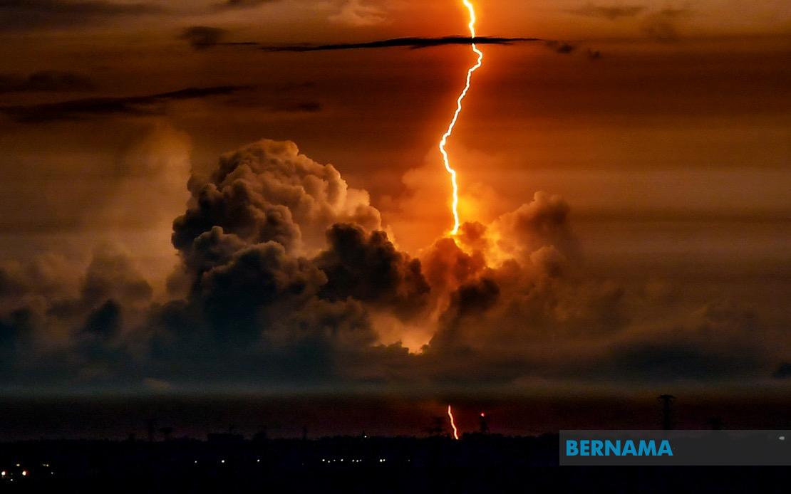
The Malaysian Meteorological Department has alerted the public to anticipate intense thunderstorms accompanied by substantial rainfall sweeping across a broad swathe of the country, with the adverse weather system expected to persist until 9 pm. The warning encompasses ten states distributed across peninsular Malaysia as well as both Sarawak and Sabah, signalling a significant weather event that residents and businesses should monitor closely throughout the day.
In northern Peninsular Malaysia, the northern zones of Kedah face considerable vulnerability, with forecasters identifying Langkawi, Kubang Pasu, Kota Setar, Yan, Pendang, Pokok Sena and Padang Terap as particular hotspots for electrical activity and heavy precipitation. Perlis has been flagged as an entire state requiring heightened caution, suggesting widespread impact across the northernmost region. This concentration of risk in the north reflects broader atmospheric conditions steering moisture-laden systems across the Andaman Sea and into the peninsula's northwestern approaches.
Perak experiences similar vulnerability concentrated in its northern and central divisions, with forecasters highlighting Hulu Perak, Kuala Kangsar, Kinta and Perak Tengah as districts where intense convective activity may develop. The pattern of warnings across this region indicates a corridor of instability extending from the western coast inland towards the central spine of the peninsula, a configuration often associated with strong afternoon heating and wind convergence.
The eastern coast of Peninsular Malaysia faces particularly extensive impacts, with Kelantan experiencing threats across nine separate districts including the major urban centre of Kota Bharu alongside smaller administrative units such as Jeli, Tanah Merah, Pasir Mas, Tumpat, Machang, Pasir Puteh, Bachok and Kuala Krai. Neighbouring Terengganu has received warnings for five zones: Kuala Nerus, Setiu, Kuala Terengganu, Marang and Besut, collectively representing most of the state's inhabited territory. This concentration suggests the primary weather system is tracking across the eastern seaboard, potentially driven by sea-breeze convergence or a lingering low-pressure trough.
Central Peninsular Malaysia has not been spared from the meteorological alert, with Negeri Sembilan's Jelebu district flagged for hazardous conditions. Within Pahang, five districts face particular risk: Jerantut, Raub, Temerloh, Bentong and Bera, indicating that the system's influence penetrates well into the peninsula's interior plateau regions. Selangor, despite containing the capital Kuala Lumpur, experiences more geographically circumscribed impacts, with only the peripheral districts of Hulu Selangor, Gombak and Hulu Langat falling within the warning envelope—suggesting the most intense activity remains concentrated away from the federal territories' core urban zones.
On Malaysian Borneo, Sarawak's warning geography reveals a dispersed pattern across multiple divisions, with Kapit and particularly Sibu experiencing dual-district coverage through Kanowit and Selangau. The coastal zone is similarly affected, encompassing Sarikei's Julau territory, Mukah's more remote subdivisions including Matu, Dalat, Daro and Tanjung Manis, and the Kuching-Bintulu corridor with Tatau experiencing heightened risk. This distribution suggests atmospheric instability developing across multiple independent convective cells rather than a single unified storm system.
Sabah's affected territories reveal a similarly scattered but regionally coherent pattern, with the Interior division experiencing warnings for Tambunan and Pensiangan, the West Coast region flagged through Ranau, and Sandakan facing threats across its eastern subdivisions of Telupid, Paitan and Labuk & Sugut. The absence of warnings for major urban centres such as Kota Kinabalu and Tawau suggests the primary weather disturbance remains concentrated in more peripheral and mountainous terrain, though residents across the state should remain vigilant given the unpredictable nature of tropical convection.
The temporal constraint of the warning until 9 pm indicates that while the phenomenon is significant, meteorologists anticipate the system's intensity diminishing during evening hours as solar heating wanes. This timeframe carries particular operational implications for commuters, outdoor workers, and event organisers, who must compress risk management into a defined window. The morning issuance of the alert provides several hours for precautionary measures, including securing loose outdoor items, ensuring drainage systems function adequately, and planning contingencies for transport disruptions.
For Malaysian residents and businesses across the affected regions, such meteorological advisories carry practical significance extending beyond weather curiosity. Thunderstorms pose documented risks including lightning strikes, flash flooding in low-lying areas, and wind damage to structures, alongside indirect effects such as traffic congestion when visibility deteriorates. The geographic breadth of this warning—spanning northern, eastern, and central zones plus two major East Malaysian states—indicates a weather pattern of national significance rather than a localised phenomenon.
The cumulative effect of the warnings across multiple states reflects Malaysia's position within the tropical maritime climate regime, where atmospheric conditions during late August routinely generate such widespread convective episodes. Residents in previously identified hotspots should maintain situational awareness through official updates and exercise standard severe weather precautions such as avoiding flooded underpasses and seeking shelter in sturdy structures during peak electrical activity. The Malaysian Meteorological Department's specificity in identifying affected districts enables granular public preparedness rather than blanket national alerts.